Bridge Scan
Mon, 08/18/2014 - 7:36am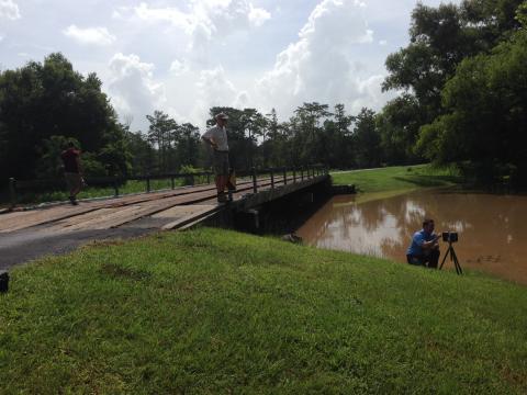
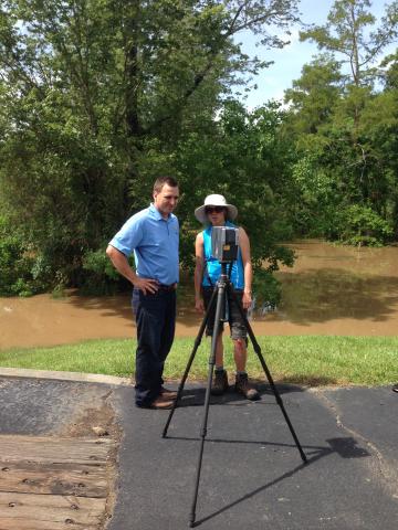
UL Lafayette Environmental Science and Architecture student interns are working with Navigation Electronics Inc. surveyor Brett Deshotels on a 3-dimensional V10/R10/Yuma bridge scan and the collection of GPS data points. 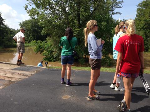
The survey work is part of an ongoing transdisciplinary geodesign land use planning project conducted by the Regional Application Center and the Coastal Community Resilience Studio.